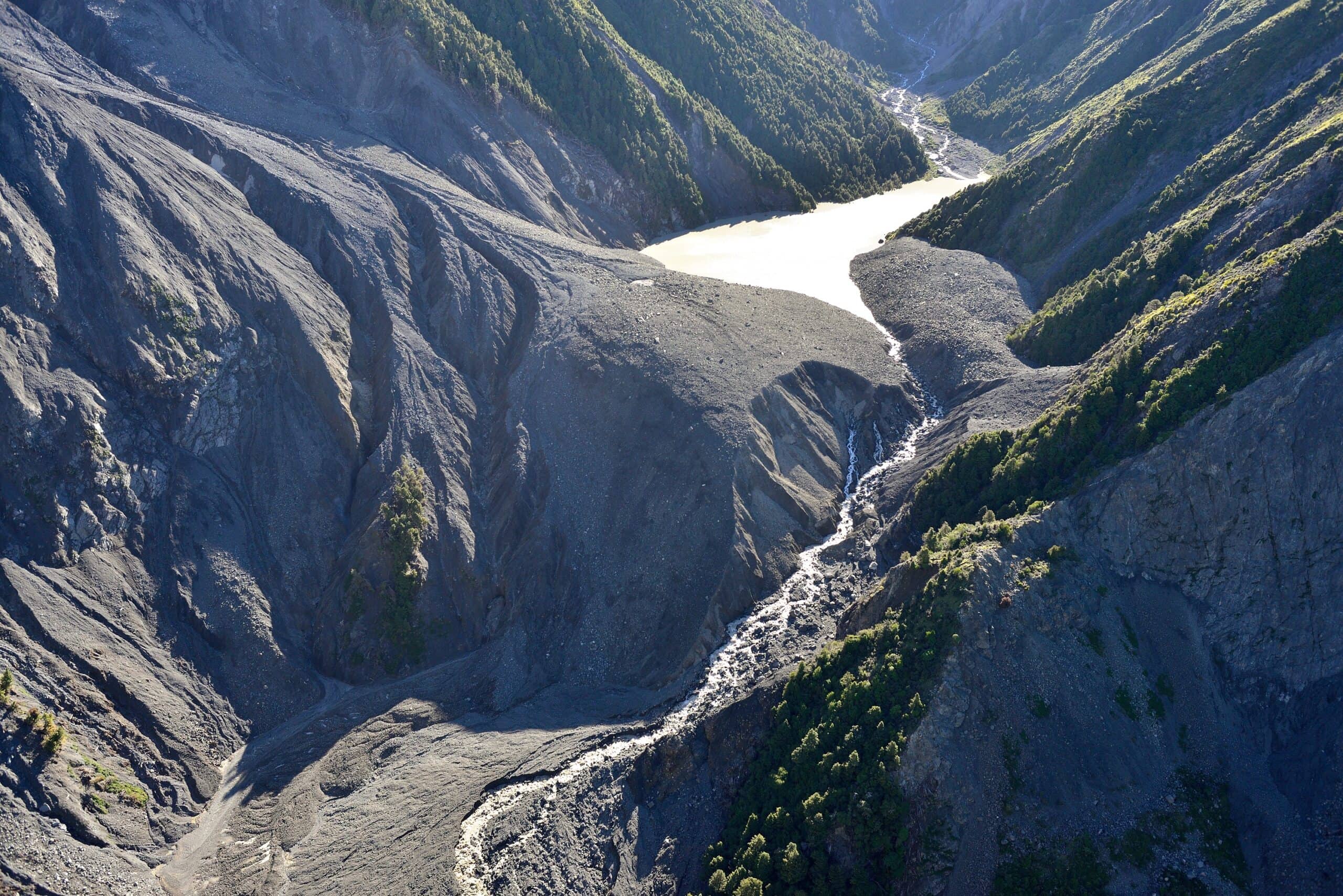
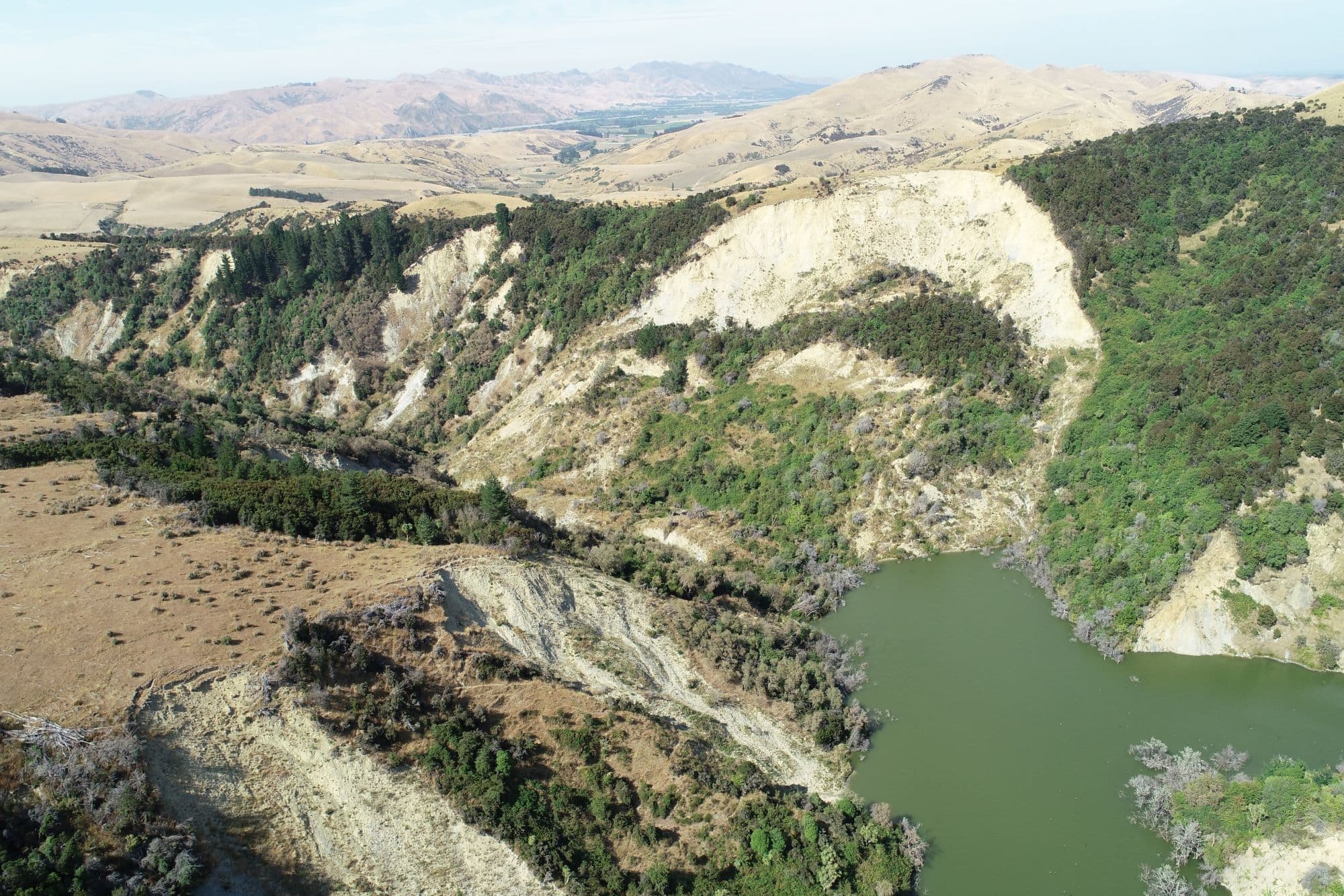
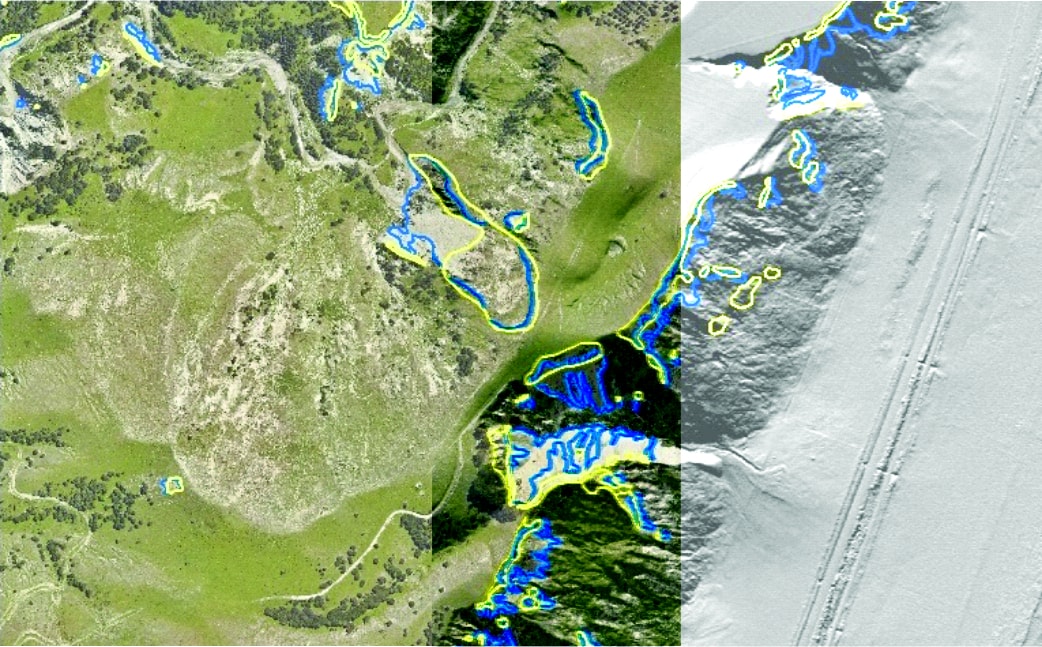
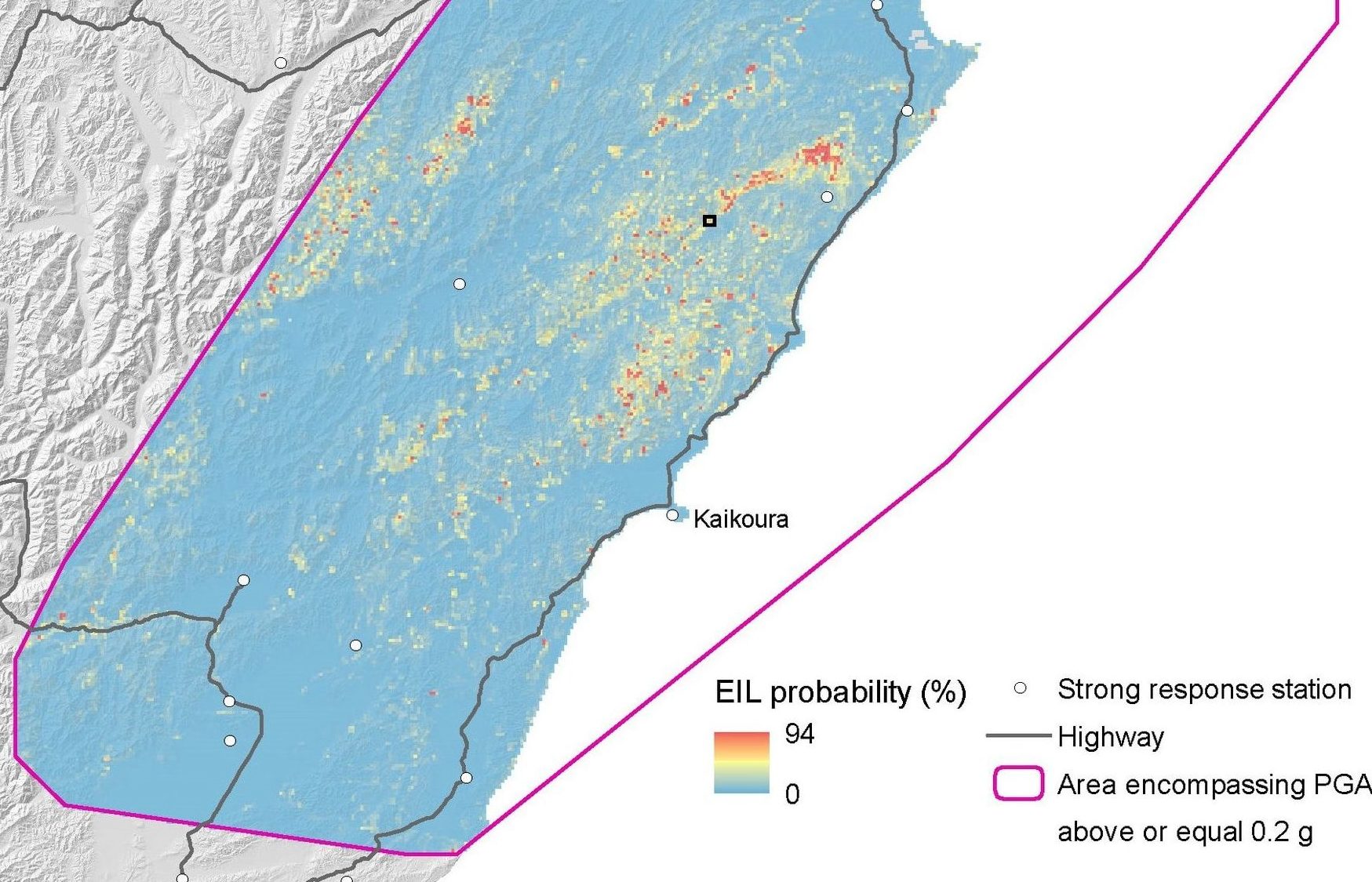
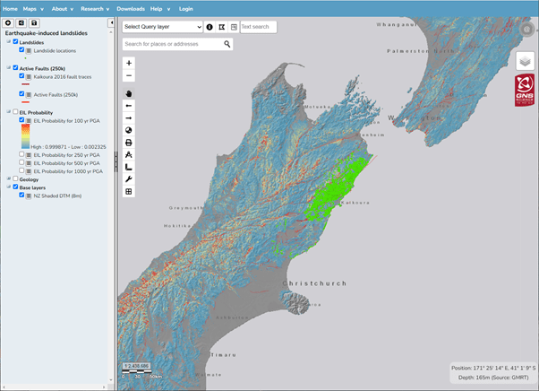
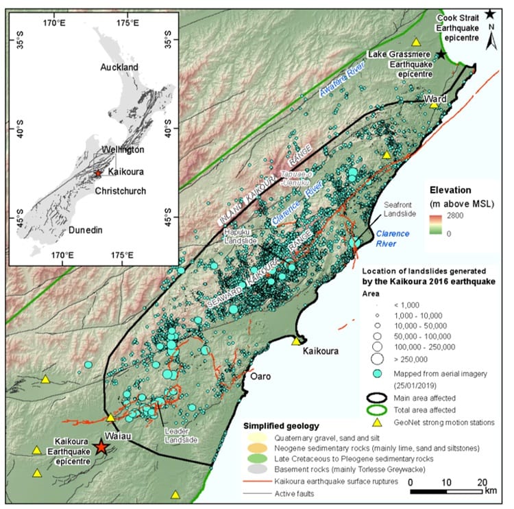
Landslides triggered by an earthquake require significant ground shaking (>0.2 PGA) triggered by larger earthquakes of magnitude (M) >5.0. The 2016 Kaikoura M7.8 earthquake, generated over 30,000 landslides causing significant damage to transport infrastructure, creating hazardous landslide dams, and depositing sediment into catchments that will impact rivers and infrastructure for decades to come.
Hazards posed by such events can be managed to a certain extent, reducing the risk. The Earthquake-induced Landscape Dynamics research programme has developed tools, guidance and case studies that can be utilised from Response through to Reduction, to increase resilience to such events. These are summarised and available from this Framework diagram. Click the links to explore the resources
Head Office
1 Fairway Drive,
Avalon 5010
PO Box 30-368,
Lower Hutt 5040
New Zealand