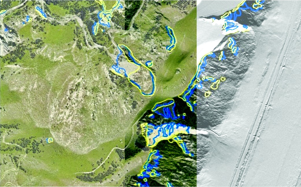
Over the course of EILD project, several aerial photo and Lidar surveys were commissioned, and Digital Surface Models (DSM) generated. These data were used to map landslides that resulted from the 2016 M7.8 Kaikoura Earthquake and subsequent slides initiated by rainfall, as well as tracking and measuring landscape changes as mobilised debris cascades through catchments.
These data are held by GNS Science and can be made available on request. The DOI’s in the table below take you to the GNS Science metadata catalogue record that contains the data contact person, to which requests can be made. The Kaikōura, Canterbury, New Zealand 2016 LIDAR is available from OpenTopography, and the Canterbury 0.3 m Rural Aerial Photos (2014-2015) and Kaikoura 0.30 m Rural Aerial Photos (2016-2017) are available directly from LINZ by clicking on the Title link.
If you want to search for other data in the GNS Catalogue click the link below
| Title | Lidar Epoch | DOI |
| Aerial Imagery | ||
| Canterbury 0.3 m Rural Aerial Photos (2014-2015) | https://doi.org/10.21420/K3H6-Z038 | |
| Kaikoura 0.30 m Rural Aerial Photos (2016-2017) | https://doi.org/10.21420/ZSJ5-N017 | |
| 2019 Kaikōura regional orthomosaic | https://doi.org/10.21420/ZA38-7335 | |
| Lidar | ||
| Kaikōura, Canterbury, New Zealand 2016 LIDAR | Epoch 1 | https://doi.org/10.5069/G9HD7SWJ |
| Kaikōura, Canterbury, New Zealand 2016 Additional LiDAR | Epoch 1 | https://doi.org/10.21420/CZZW-CS82 |
| Kaikōura, Canterbury, New Zealand 2017 LiDAR | Epoch 2 | https://doi.org/10.21420/HMC6-QV40 |
| 2018 Kaikōura Hapuku Kowhai Papatea March LiDAR | Epoch 3 | https://doi.org/10.21420/TH9W-ST16 |
| 2018 Kaikōura Hapuku Kowhai Rivers July LiDAR | Epoch 4 | https://doi.org/10.21420/K70H-8P87 |
| 2019 Kaikōura January LiDAR | Epoch 5 | https://doi.org/10.21420/HDT4-TT88 |
| 2019 Kaikōura Hapuku Kowhai Rivers May LiDAR | Epoch 6 | https://doi.org/10.21420/49D1-5796 |
| 2019 Kaikōura Hapuku Kowhai Rivers November LiDAR | Epoch 7 | https://doi.org/10.21420/X2NS-ZS89 |
| 2020 Kaikōura Hapuku Kowhai Rivers May LiDAR | Epoch 8 | https://doi.org/10.21420/E79Z-1X90 |
| 2020 Kaikōura Hapuku Kowhai Rivers November LiDAR | Epoch 9 | https://doi.org/10.21420/FWKT-5T14 |
| 2021 Kaikōura March LiDAR | Epoch 10 | https://doi.org/10.21420/QKV5-SK25 |
| 2021 Kaikōura Hapuku Kowhai Rivers April LiDAR | Epoch 11 | https://doi.org/10.21420/5VXH-AZ20 |
| 2021 Kaikōura Hapuku Kowhai Rivers June LiDAR | Epoch 12 | https://doi.org/10.21420/8P6E-0Z41 |
| 2021 Kaikōura Hapuku Kowhai Rivers July LiDAR | Epoch 13 | https://doi.org/10.21420/GANK-SY42 |
| 2021 Kaikōura Hapuku Kowhai Rivers November LiDAR | Epoch 14 | https://doi.org/10.21420/Q1GY-B889 |
| Digital Surface Models | ||
| 2015 Kaikōura regional Digital Surface Model (DSM) | https://doi.org/10.21420/CEXX-H198 | |
| 2015 InSAR adjusted and corrected Kaikōura regional Digital Surface Model (DSM) | https://doi.org/10.21420/DP5R-5Y54 | |
| 2016-2017 Kaikōura regional Digital Surface Model (DSM) | https://doi.org/10.21420/0DYR-Q529 | |
| 2019 Kaikōura regional Digital Surface Model (DSM) | https://doi.org/10.21420/B8YG-HG84 |
Head Office
1 Fairway Drive,
Avalon 5010
PO Box 30-368,
Lower Hutt 5040
New Zealand