Morgenstern, R.; Massey, C.I.; Rosser, B.J.; Archibald, G.C. 2021 Landslide dam hazards : assessing their formation, failure modes, longevity and downstream impacts. p. 117-123; doi: 10.1007/978-3-030-60319-9_12 IN: Vilímek, V.; Wang, F.; Strom, A.; Sassa, K.; Bobrowsky, P.T.; Takara, K. (eds) Understanding and reducing landslide disaster risk. [WLF 2020]. Volume 5, Catastrophic landslides and frontiers of landslide science. Cham: Springer International Publishing AG. ICL contribution to landslide disaster risk reduction.
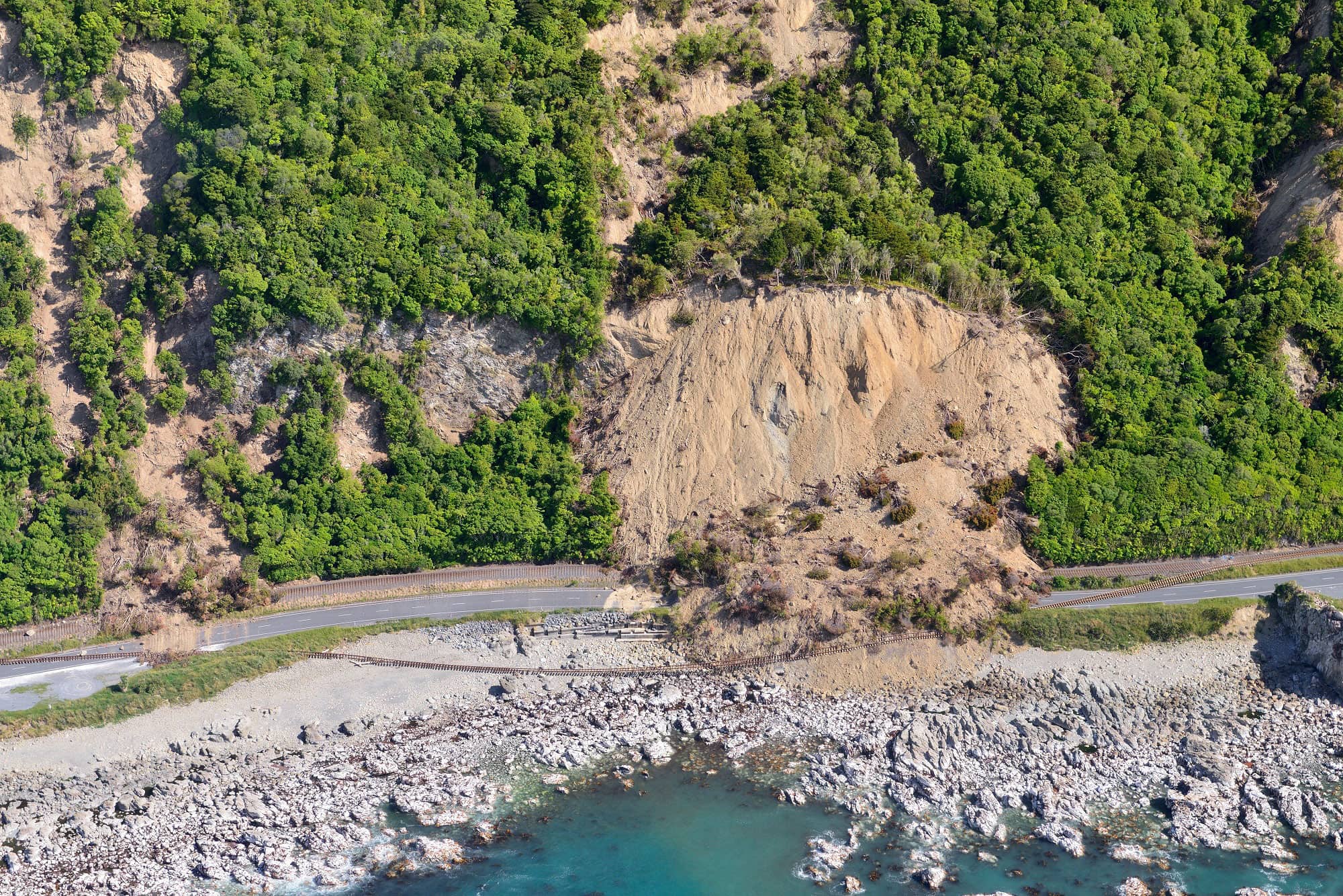
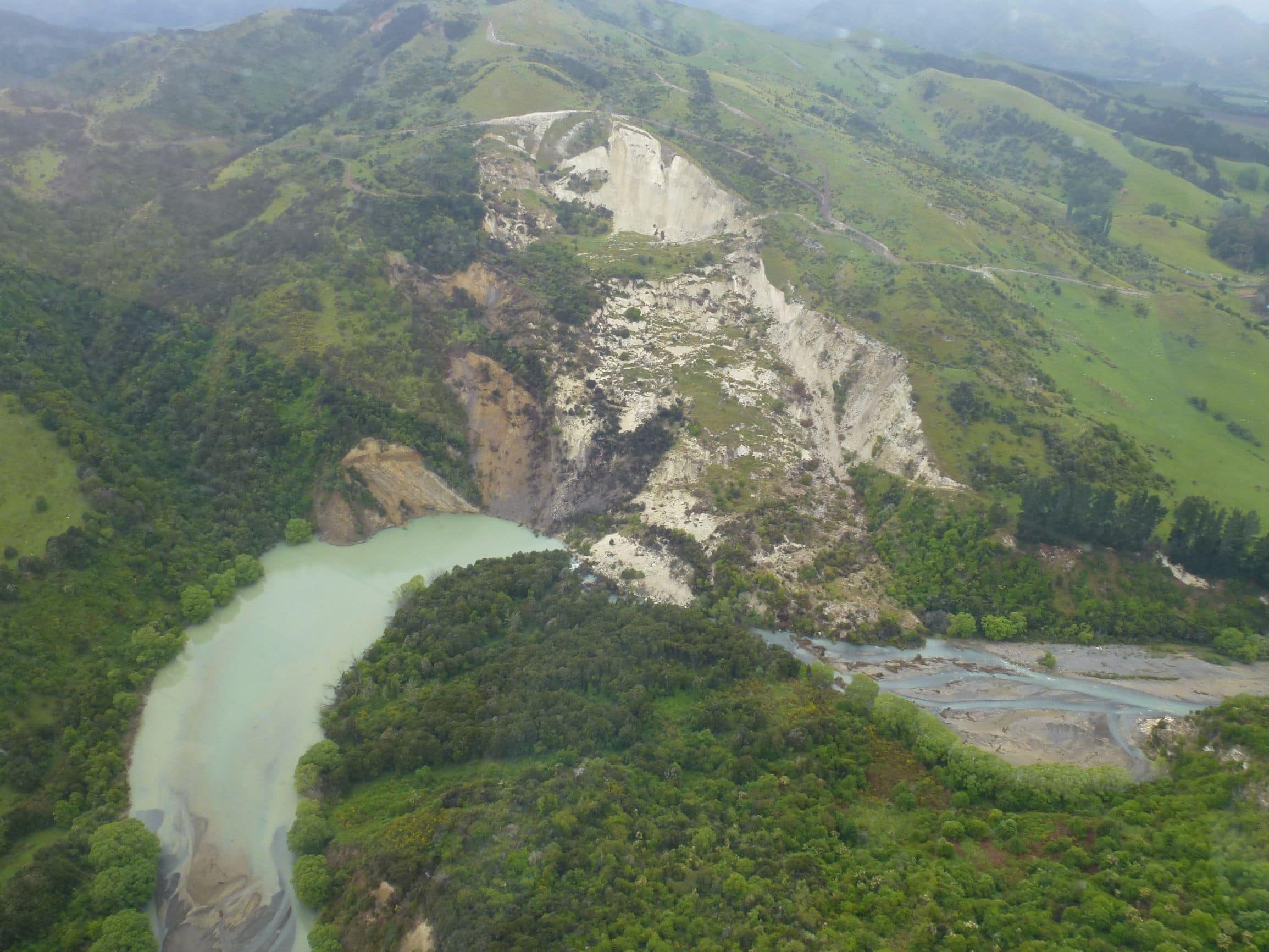
In the last few decades, >200 new natural (mainly landslide) dams have formed in New Zealand. Several of these dams, such as the: 1996/97 Mount Ruapehu tephra dam (formed by volcanic eruption); 2007 Young River landslide dam; largest ten landslide dams associated with the 2016 Kaikōura Earthquake; and 2019 Kaiwhata landslide dam, have been studied in detail to better understand their: (a) formation mechanisms; (b) material properties; (c) failure modes; and (d) downstream impacts. This paper outlines a method to assess the longevity and downstream impacts of landslide dams, post-formation, by adopting a combination of field techniques, forecast models and expert judgement based on the performance of past landslide dams, immediately post-event. To do this we use the following steps: (1) carry out initial breach and inundation modelling using existing information—done prior to visiting the site; (2) detailed, high-resolution topographic surveys of the dam and downstream area; (3) site-specific investigations to measure key parameters such as the volume and geometry of the dam and lake, and the particle size distribution of the dam materials; (4) dam breach modelling using empirical methods to identify dam failure scenarios; (5) numerical flood/debris inundation modelling to determine area of impact; and (6) overlaying dam failure and debris inundation scenario models on asset maps to identify people, buildings and other infrastructure that are potentially at risk. This study summarises the method for assessing the likelihood of dam failure and the potential downstream consequences, using the Hapuku River and Kaiwhata dams as case studies.
Head Office
1 Fairway Drive,
Avalon 5010
PO Box 30-368,
Lower Hutt 5040
New Zealand