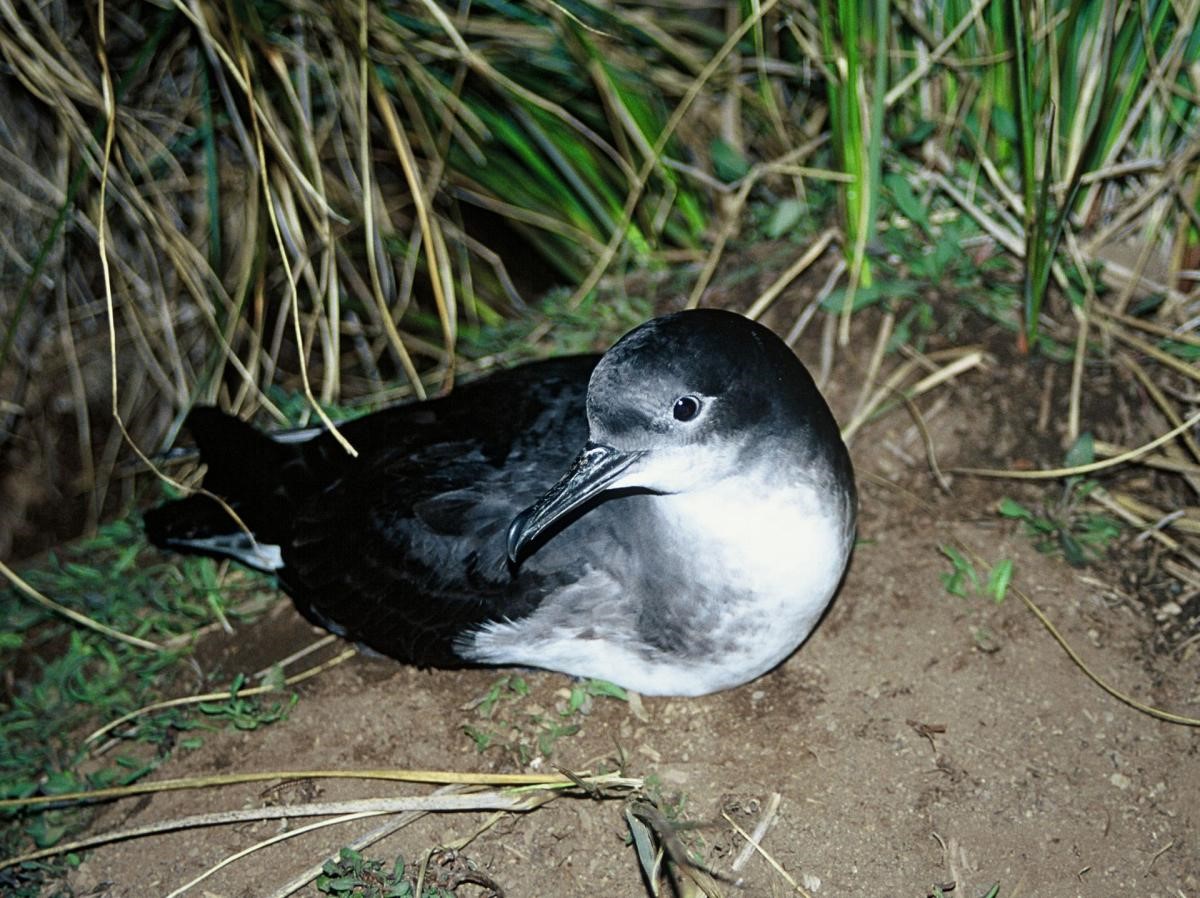
People were not the only living creatures affected by the 2016 Kaikōura earthquake. The Hutton’s shearwater or Kaikōura tītī (Puffinus huttoni) is an endangered seabird endemic to the Kaikōura region that nests between 1200-1800 m above sea level in the Seaward Kaikōura Range. These areas are generally only accessible by helicopter.
The birds were once more widespread but are now limited to two areas, where they nest in soil burrows excavated on the slopes between tussocks, and at a translated colony on the Kaikōura Peninsula. The Hutton’s Shearwater Charitable Trust (HSCT) promotes conservation and sustainable management of one of the colonies, supported by the Department of Conservation (DOC) and Puhi Peaks station.
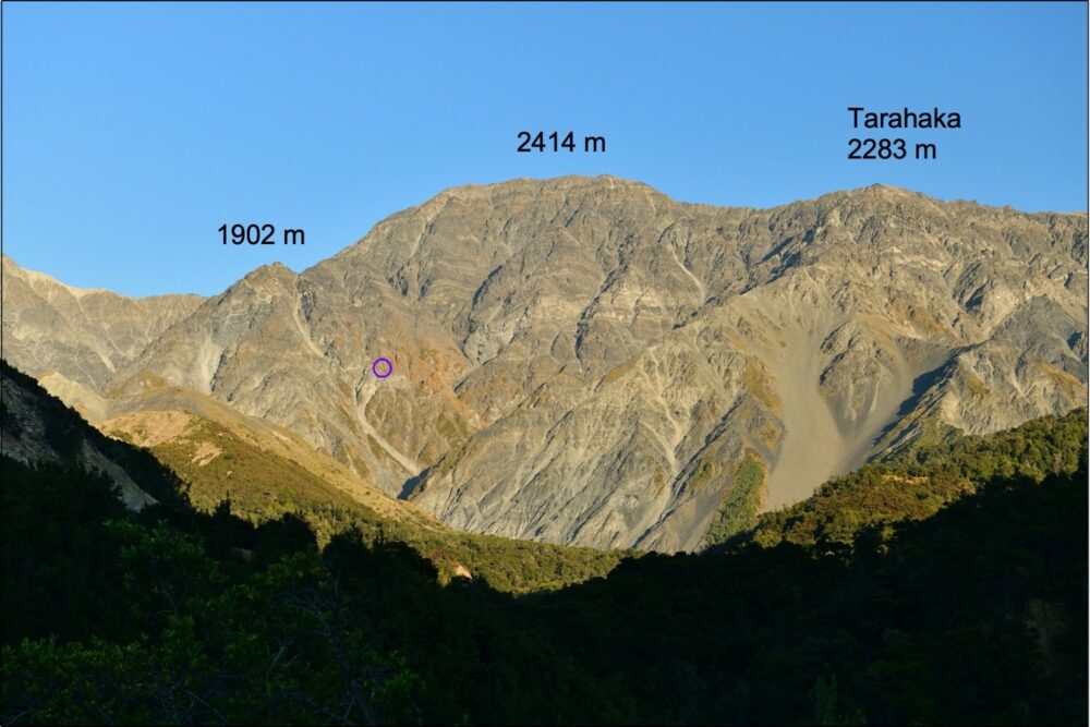
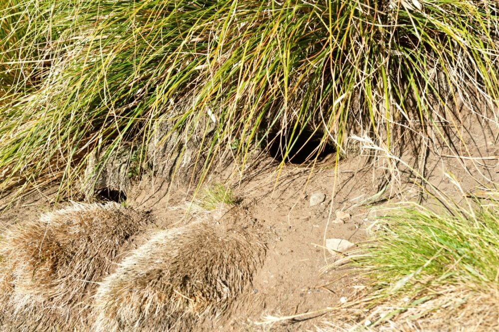
The 2016 Kaikōura earthquake (M7.8) caused extreme shaking in the region and resulted in many tens of thousands of landslides and other ground damage including rockfalls, ground cracking and dynamic compaction of ‘soil’ materials. GNS Science was asked by Puhi Peaks Station to help them map and summarise the ground damage and disruption to the Hutton’s shearwater nest burrows as a result of the earthquake. In February 2020, GNS Science staff Regine Morgenstern and Dougal Townsend visited the Shearwater Stream colony to map the damage (view the video). This was done in conjunction with Nicky McArthur, Chloe Cargill and James Kilgour (Puhi Peaks Station), Mike Bell (Wildlife Management International Limited) and Mike Morrissey (Department of Conservation), who at the same time undertook a survey of chick numbers in burrows.
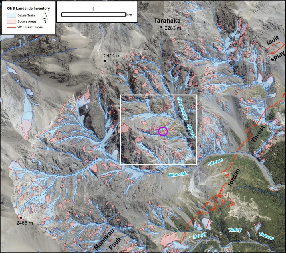
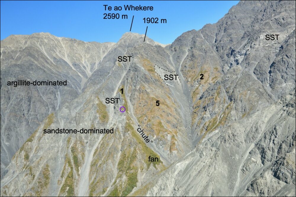
Observed ground damage in the nesting area included some impacts from rockfalls and larger volume debris avalanches (a type of landslide including multiple rocks and soil debris). There were also a few larger, deeper slides in greywacke bedrock and associated ground cracking was observed in a few places, mainly along ridge lines. In addition, evidence of rockfalls, slides and toppling of greywacke rock was observed, some of which had collapsed into sub-colony 5, although fortunately into a gully away from the main area of burrows at that site. Shallow surface deformation, comprising minor compaction and slumping of the thin soil (which is typically no more than 80 cm thick) and regolith mantling the bedrock was also noted. The regolith comprises mainly sand and talus – a type of blocky hillslope debris.
The cracks are a cause for on-going concern: it is unclear how these might respond to future intense or long-duration rainfall events where water can infiltrate and potentially lead to post-earthquake landsliding. Rockfall is also a continuing hazard, especially where the mountainous landscape is readjusting following the extreme shaking event. However, most of the sub-colonies at Shearwater Stream appeared to have fared well with respect to landslide and ground cracking impacts, thus escaping significant landscape damage. The damage to the nests and disruption to the breeding cycle is being further assessed with on-going monitoring.
Head Office
1 Fairway Drive,
Avalon 5010
PO Box 30-368,
Lower Hutt 5040
New Zealand