Morgenstern, R., Wolter, A., Cox, S.C. et al. The New Zealand landslide dam database, v1.0. Landslides (2023). https://doi.org/10.1007/s10346-023-02133-4
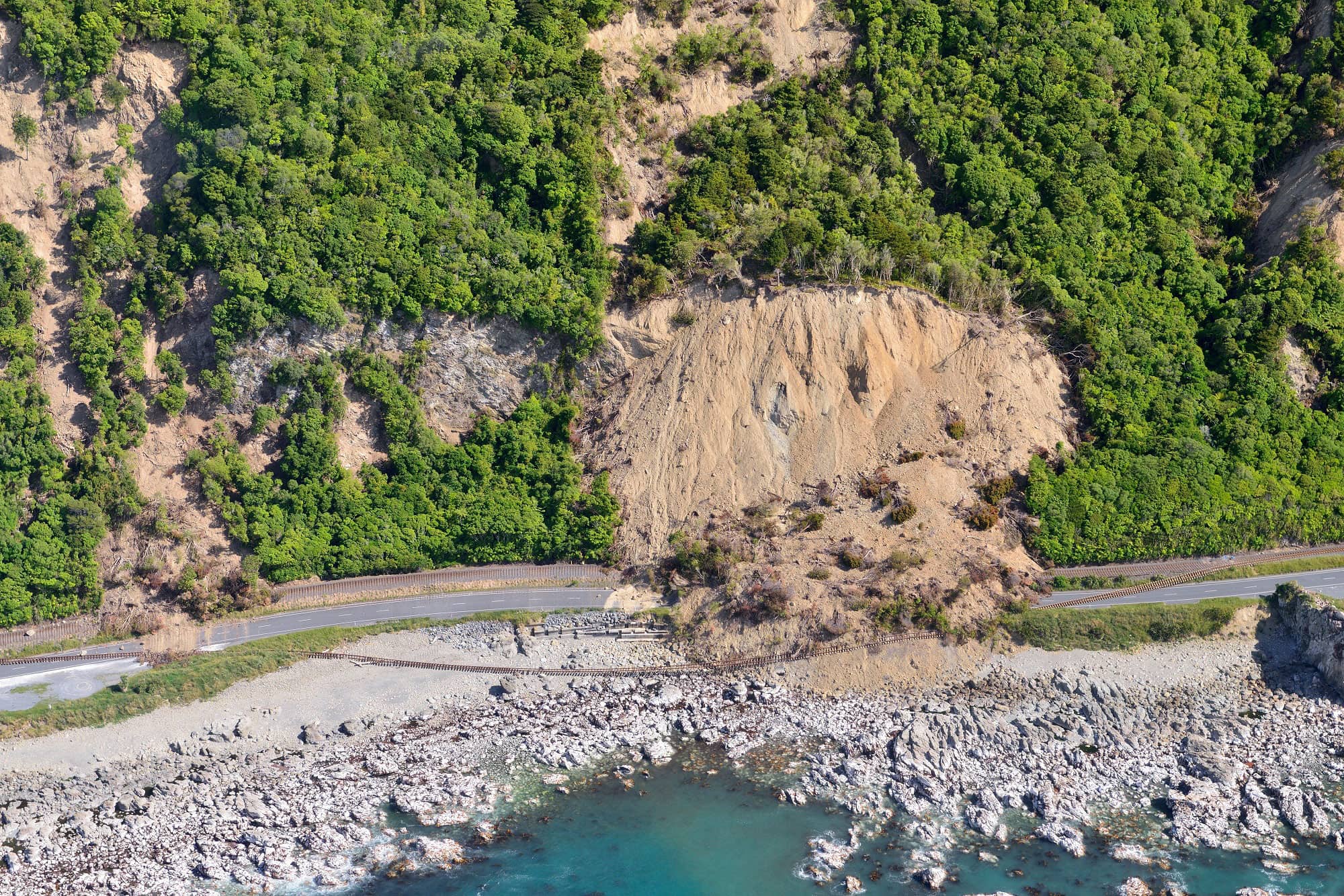
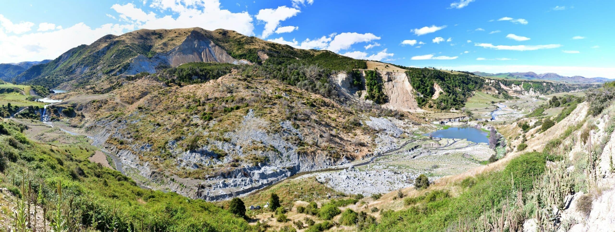
Version 1.0 of the New Zealand Landslide Dam Database (NZLDD) has been developed to investigate dam formation, longevity, and stability. The database includes mapping, and/or remapping of 1036 dams, including those generated by the 2016 Kaikōura Earthquake. The NZLDD represents a significant increase in catalogued landslide dams—almost doubling the existing number of known and studied landslide dams worldwide.
The database architecture, attribute definitions, and some summary statistics are presented in this paper. Many dams in the database have formed in greywacke bedrock terrain, by earthquake-triggered rock avalanches, falls, and slides. Most are small and have since failed and no longer impede or impound water.
Landslide dams can fail suddenly and catastrophically, threatening downstream populations and structures. Hence, it is important to understand where they could form, how long they persist in the landscape, and the extent of downstream inundation once they fail. A representative subset of 265 dams is being used to analyse landslide dam stability and breaching in detail.
Head Office
1 Fairway Drive,
Avalon 5010
PO Box 30-368,
Lower Hutt 5040
New Zealand