de Vilder, S.J.; Massey, C.I.; Taig, T.; Lukovic, B.; Archibald, G.C.; Morgenstern, R. 2021. Quantitative risk analysis of earthquake-induced landslides. p. 465-470; doi: 10.1007/978-3-030-60706-7_50 IN: Tiwari, B.; Sassa, K.; Bobrowsky, P.T.; Takara K. (eds) Understanding and reducing landslide disaster risk. [WLF 2020]. Volume 4, Testing, modelling, and risk assessment. Cham: Springer International Publishing AG. ICL contribution to landslide disaster risk reduction.
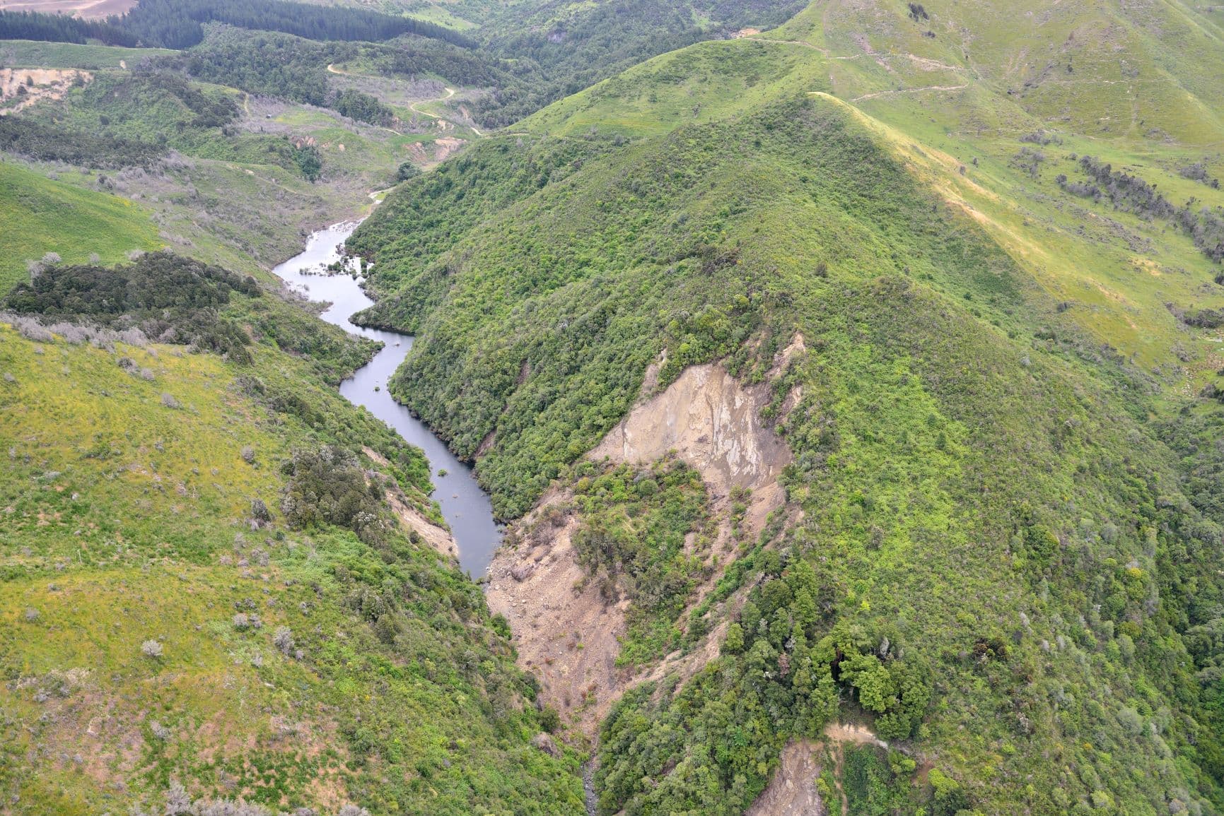
Quantitative risk analysis is valuable tool in risk management, yet the calculation of risk is often hampered by a lack of quality spatial input data, particularly landslide event inventories. These event inventories provide information to determine the number, size and spatial location of landslides triggered by discrete events such rainfall or earthquakes. This paper presents an approach whereby we use historical New Zealand earthquake-induced landslide inventories to estimate the landslide hazard for the Franz Josef and Fox glacier valleys, West Coast, South Island, New Zealand, as no pre-existing complete earthquake-induced landslide inventories exist for this area of New Zealand. We outline a methodology for the calculation of earthquake-induced landslide magnitude-frequency relationships from the 2016 Mw 7.8 Kaikōura earthquake, the 1968 Mw 7.1 Inangahua earthquake, and the 1929 Mw 7.8 Murchison earthquake to determine the probability of a given volume of landslide occurring for different levels of ground shaking.
Head Office
1 Fairway Drive,
Avalon 5010
PO Box 30-368,
Lower Hutt 5040
New Zealand